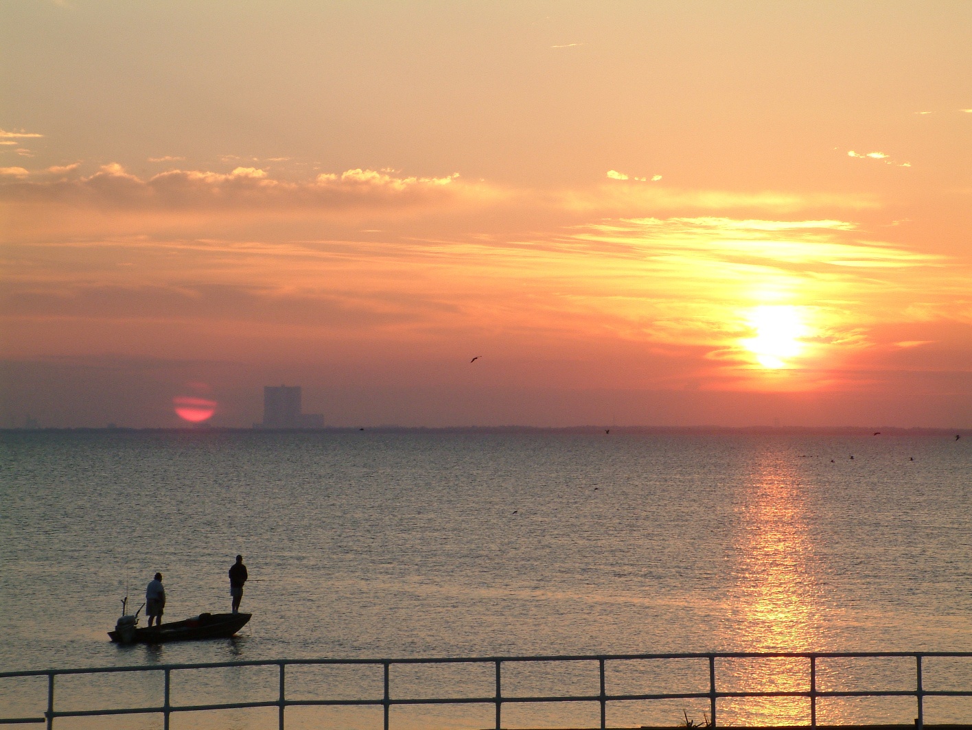
On Saturday I went to visit the Redsand Forts. There are a couple of things I’d like to note for you.
Firstly I use the opportunity to calibrate the altitude on my Garmin Instinct watch. I usually give it a go each month, just to make sure it’s working properly. While out near the forts I used the calibrate with GPS option and I got an altitude of -2m. Initially this confused me but then I realised that I was close to the sea but during low tide, therefore I was likely negative AMSL, so -2m seemed about right.
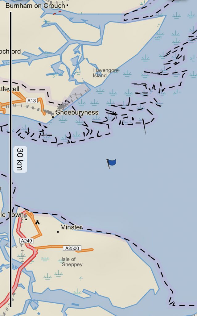
The above picture is my position as saved by the Garmin Instinct. I didn’t even know that was an option but I noticed it while I was calibrating the altitude. I saved the position and then was able to display it on my phone. There’s a Garmin app called Explore and I like the functionality.
While out on the sea I also used Google Maps to see where I was.
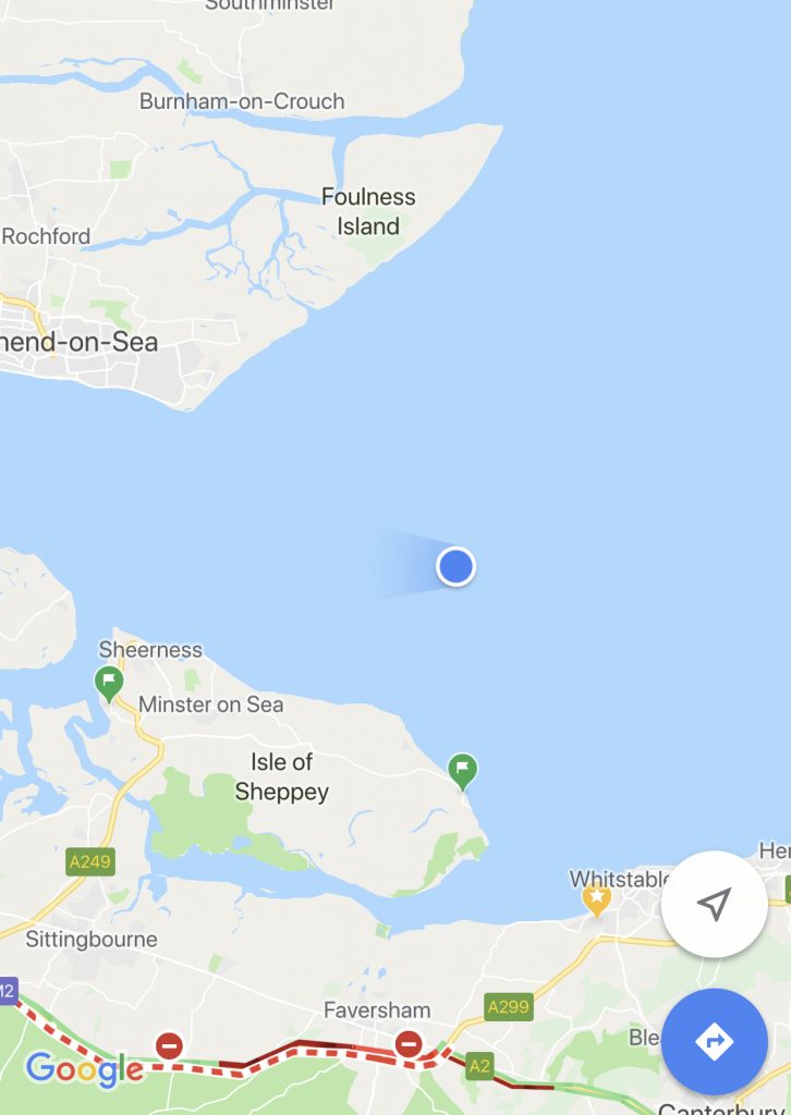
I took this screen shot a bit before the Garmin one and so you can see I am slightly further east than the previous picture. I don’t think either of these was taken at the Redsands Forts complex as I was too busy watching.