I recently had a long session on Minecraft, I was stuck in the house and couldn’t get out as I was waiting for someone to come and fix my boiler. I didn’t really feel like getting into a TV show so I spent some time [too long really] putting an idea I had a while back into place. Here’s an overview of part of the latest world:
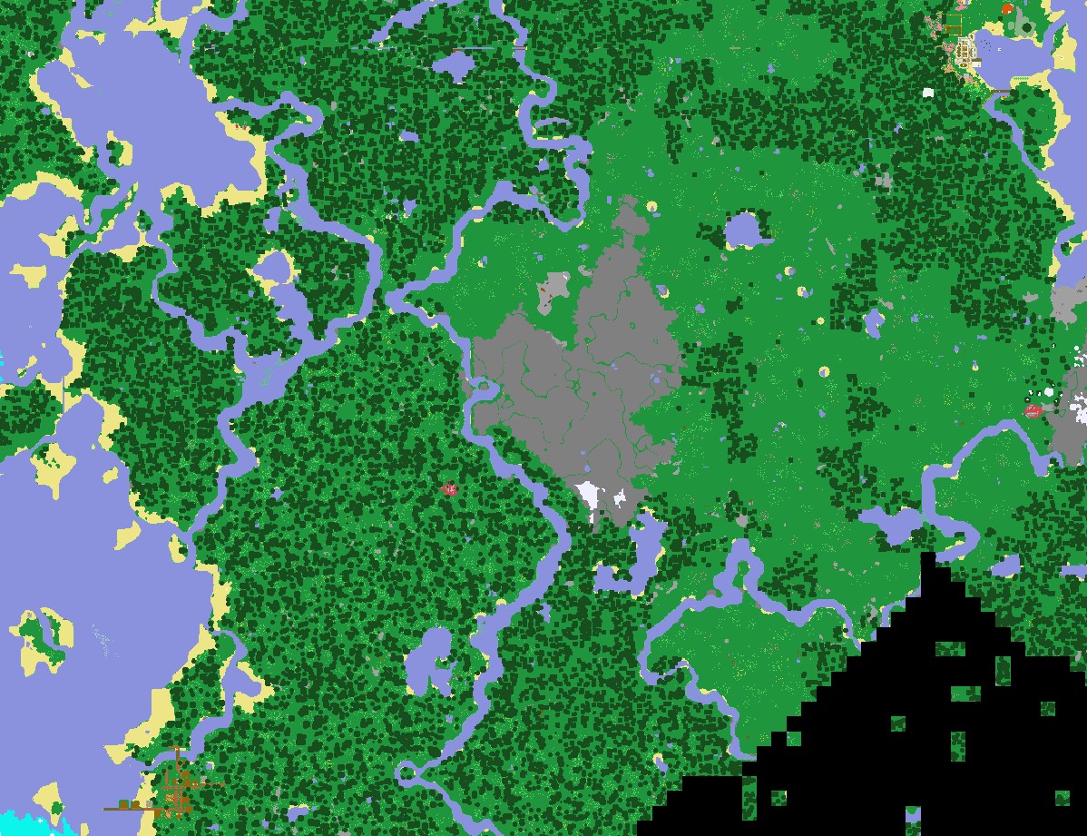
The mess top right next to the bay is the MAIN Base. I’m going to see if I can get some screen shots of it, or maybe give a walk around viewing video, I’ll see what I can manage. The big grey blob in the middle of the map is a gravel topped mountain and I’ve not been there to get the gravel yet but it will be useful at some point I hope. In the bottom left of the map you can see the nearest village to the base. I wanted to create a way of getting to and from the village without having to walk over land. I could have created a minecart track but in this world I chose to dig a canal.
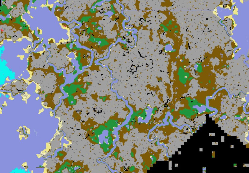
This cross-sectional map shows everything at level 62 – sea level [currently]. If you look closely at the top you can see a thin blue line going horizontally. That is the canal I dug and added water to. You enter the canal from top right and move directly westwards and exit in the Great Lake. From there you follow the passages and mini-canal southwards to get to the village. There could be an issue that I can’t remember whether it was this village or not that had actual live villagers in it. I didn’t bother to check before I started this infrastructure project so it could have been for nothing!
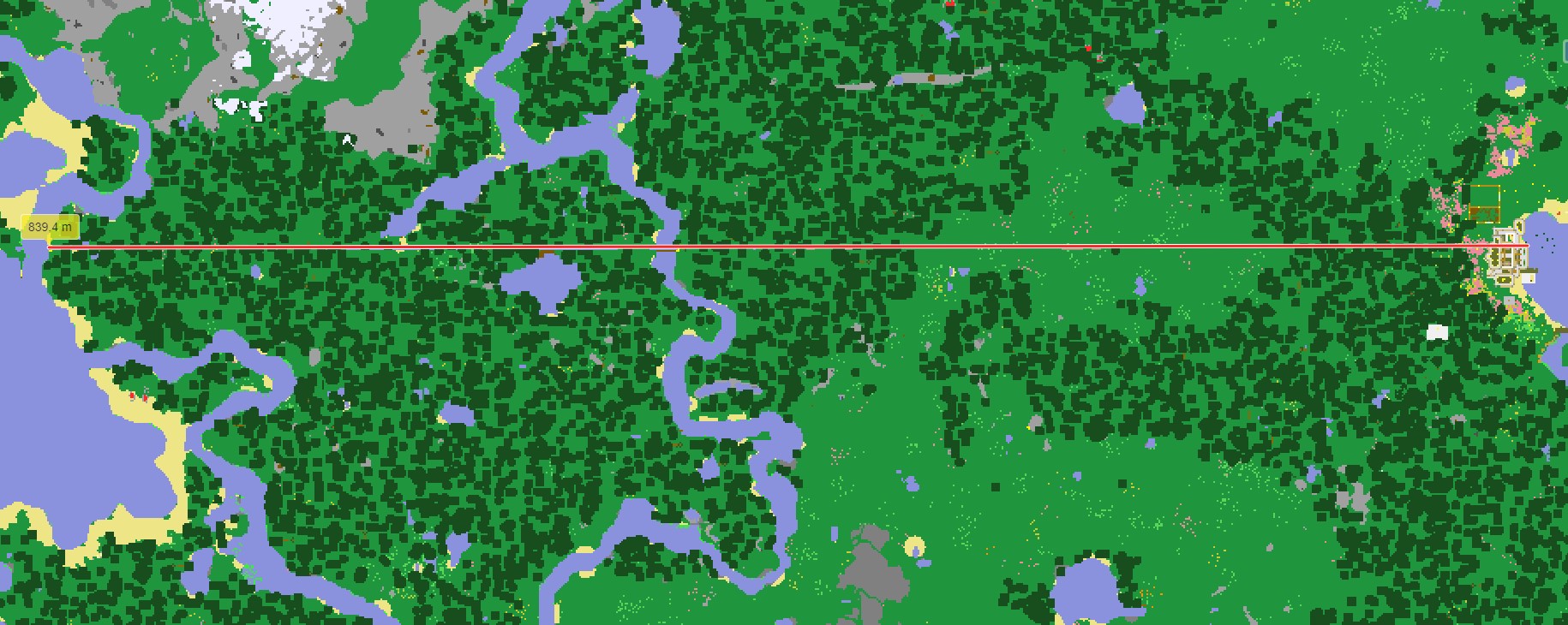
My map making software also has a measuring tool. You can see that the total canal length is about 0.85km. So that’s 850 blocks long. I’ll probably create a video soon of the base and where the canal goes but until then, I leave you in peace.