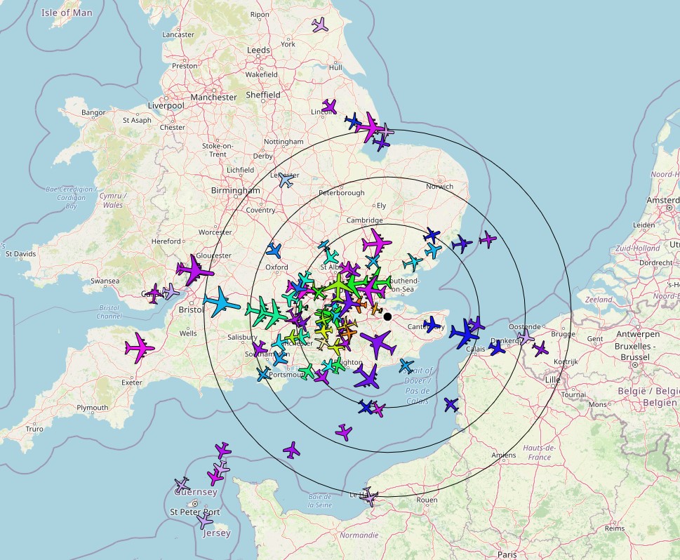
It has been years since I wrote a communication about my aircraft tracker that’s installed in the loft. I have an aerial connected to a by-pass filter and amplifier connected to a Raspberry Pi which decodes the semi-automatic radio signals sent by aircraft and plots them into a map for me. I also upload the data to a website which anyone can access for a small annual fee. I used to regularly put a “splat” on this site which shows a map of aircraft coverage over a period of time. I have stopped using that part of the software – although I might reinstall it, will have to think about that. Without the virtual radar server all I can do is get a map output of which aircraft are currently being tracked. This was the map I got a few moments ago:
It still impresses me how far the aerial can “see”. It would be cool if I could raise the height a little more and have the aerial outside but that would require professional installation so maybe sometime in the future.

