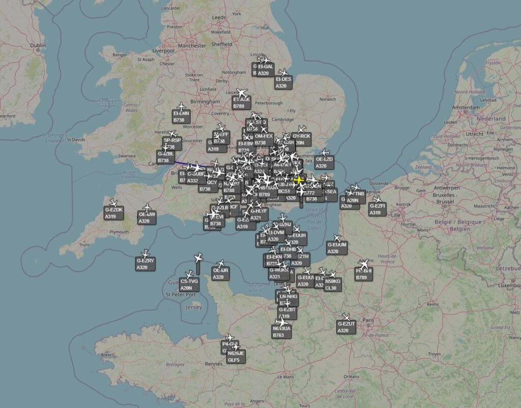
Up in the dim warm loft of my house is a Raspberry Pi connected to an aerial. I’ve written about this a lot before, the thing tracks specific aircraft signals and then send those data off to a website for them to use to send to the world. I spent a little time yesterday adding the Virtual Radar Server software to the Pi so now I can see what my Pi sees in a useful format. I also have enabled this to be seen anywhere around the world using the brilliantness of the internet and such technologies. This picture shows you the UI and a long range view:
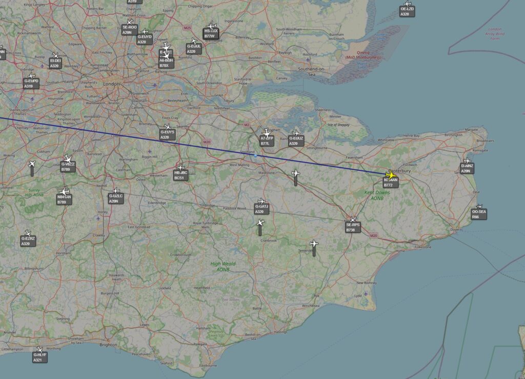
I think the aerial was picking up about 90 aircraft when I grabbed this screenshot. I still think that’s pretty impressive. Here’s a more local view:
I know I have some issues with range detection aligned with how my terraces rooves are arranged along with a bit of a block to the north of the North Downs, but still, I think it’s impressive.


